Borehole siting and drilling risk
Know the depth to water and bedrock before the rig arrives.
In weathered basement aquifers a borehole can be dry a few hundred metres from a good one. Most sites are still chosen from one geophysical line and local memory, so failed and low-yield boreholes are common, and each one costs the full drilling price.
The records that would help, earlier drilling logs and water levels, sit in files and spreadsheets that nobody turns into a picture before the next contract is signed.
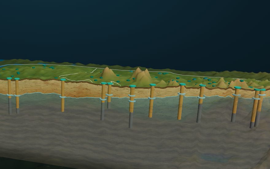
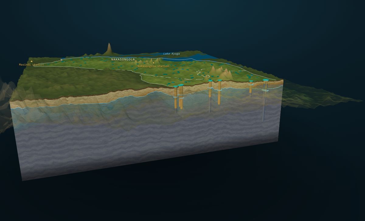
Our solutionWe put every borehole record around your site into GroundWater Analyst: depth to water, depth to bedrock, yield and drilled depth, under the real terrain. The model shows where the saturated weathered zone is thick, where bedrock comes up near the surface, and how far the nearest reliable records are.
You get a Site Check: a depth-to-water and depth-to-bedrock estimate for your site, a cross-section through it, the nearby records summarised, and a plain recommendation, before you commission the geophysics and the rig.
Who it is for: District water offices, NGOs and WASH programmes, drillers, farms, factories
- Fewer dry and low-yield boreholes
- Drilling depths and casing planned from evidence
- Geophysics targeted where it adds most
- A record you can show a funder or auditor
How it works, step by step
Locate
You give us the site or the area and the target yield.
Collect
We gather the borehole and water-level records around it.
Model
Water table and bedrock are interpolated under the terrain.
Section
A cross-section is cut through your site.
Report
Depths, uncertainty and a recommendation in 5 working days.
What powers this solution
Interested in borehole siting and drilling risk?
Contact our team today, or start in the KAI portal.